After a long drive from our accommodation near Newquay we arrived at Lizard Point. I was happy there was no fog this time, at last I could get a decent look at this unique corner of Britain. Where I'd switched-off GPS tracking next to the lighthouse in September my journey resumed. The three of us walked the short distance down to the most southerly point of the British mainland together. We were the only people there, I've no idea why so few people visit this geographical extremity compared to Lands End. When stood here you're further South than Lille, much of Northern France and almost all of Belgium. After savouring the moment and taking pictures they wished me luck and the proper walking began. Almost immediately I passed above the old abandoned lifeboat station which replaced by the modern one I'd seen on Day 16, then set off along the rugged cliff-tops. There was a biting easterly wind behind me, it was quite hazy, but with only a couple of miles covered I could already pick-out St Michaels Mount in the far distance, this marking my intended destination for the day.
At Kynance Cove the tide was just about low enough to let me drop down and walk across the top of the cove. I'd never seen anything like the striking red serpentine cliff face and pebbles here. A lady wiping tables at the café would be the only other person I'd see in my first 90 minutes of walking in this isolated area. The climb up the other side was the steepest so far on a day that wouldn't turn out to be too tough on the legs. I was rewarded with great views over Asparagus Island, where rare wild asparagus grows, and Gull Island. This section of the path felt quite remote and little-used, signs and waymarks were infrequent. The wind was easing now and it was turning into a fine sunny day.
With around 7 miles covered I passed around Mullion Harbour, then Mullion Cove. The cove was overlooked by an impressive looking cliff-top hotel and not much else. It was a pleasant spot, free of tourist crowds at this time of year. Approaching pretty Poldu Cove I saw the wireless station from where Marconi made the first transatlantic radio message in 1901. The museum here became the latest of many places I've seen on the coast path that I'd like to go back and visit one day. Soon after leaving Poldu I noticed a black bird on a cliff-top bush not far from the path. I was excited it may be a rare Cornish Chough and took a couple of snaps. However after looking at my pictures later I've realised it was just a common blackbird. Oh well. At least I would get to see an actual lizard on the path later in the day.
There was an attractive beach at Church Cove. While being fairly quiet considering the Spring sunshine and school holidays it also had the most visitors I'd seen in any one place so far. It seemed amazing to me that the church next to the beach here has never been overwhelmed by storms or shifting stands. There can't be many prettier places to find a church anywhere in this country.
After some more cliff-top walking I arrived at the eastern end of Porthleven Sands. The official path is above the beach, but with the tide receding I preferred to indulge myself in a spot of beach walking. From Gunwalloe to The Loe the beach was almost completely empty. Neither the fine shingle or sand sections were particularly easy to walk on, but it well worth the effort to spend a mile enjoying the geology to my right while waves were breaking to my left. There were quite a few people on Loe Bar, a very wide, tall and apparently storm-proof sand bar which separates the sea from a big fresh water lake. Once in Porthleven itself I took my lunch-break on a bench overlooking the harbour. By now St Michael's Mount was no longer in my line of sight, hidden behind the headland at Cudden Point
Leaving Porthleven I could see the ruins of Wheal Trewavas perched precariously on the side of a cliff a couple of miles ahead (wheal is the Cornish word for mine). I expected the path to pass safely higher up, but I was delighted on arrival to find a short spur passed right through the mines. This was a dramatic spot, the history of places like this fascinate me, I stopped and took many pictures. A little further on the engine house of Wheal Prosper was much more accessible being right next to a small car park. The beach at Rinsey Cove was below. By luck my visit was perfectly timed to admire something I'd never seen before, beach art in the form of patterns in the sand created by Chris Howarth, aka 'One Man and His Rake'. The tide had turned and waves were just starting to erase his impressive work.
Shortly after meeting the aforementioned lizard scurrying along the path Praa Sands would be the next pleasant beach I encountered. Many families were here enjoying what had turned out to be a fine, warm sunny afternoon. Soon after the less accessible Kenneggy Sand was completely empty. As expected St. Michaels Mount came into view again as I rounded Cudden Point, now quite close, as always a spectacular, unmistakeable landmark. The approach to Marazion was easy, passing along the sea side of some farmland, a short beach section, finally finishing on roads. When I arrived Mum and Megan were waiting at our pre-arranged meeting point, a spot where you have the best view of the historic island and the small boats going to and fro.
As we drove back to base I reflected on a truly wonderful day of walking. I was very happy to be back on the wonderful South West Coast Path.
Distance Walked Today 25.39 miles (40.86km)
Walking Time; 7 hours 55 minutes
Average Walking Speed 3.3 mph
Cumulative Distance Walked 385.67 miles (620.68km)
GPS Track; http://runkeeper.com/user/GaryQQQ/activity/543458622
 |
| Despite a bitter wind my daughter Megan and mum Eileen manage a smile at Lizard Point, the southern-most point of Great Britain |
 |
| Serpentine cliff face and pebbles at Kynance Cove |
 |
| Asparagus Island (nearest) and Gull Island viewed from the cliff top above Kynance Cove |
 |
| Church Cove, the church is to the top right of the picture |
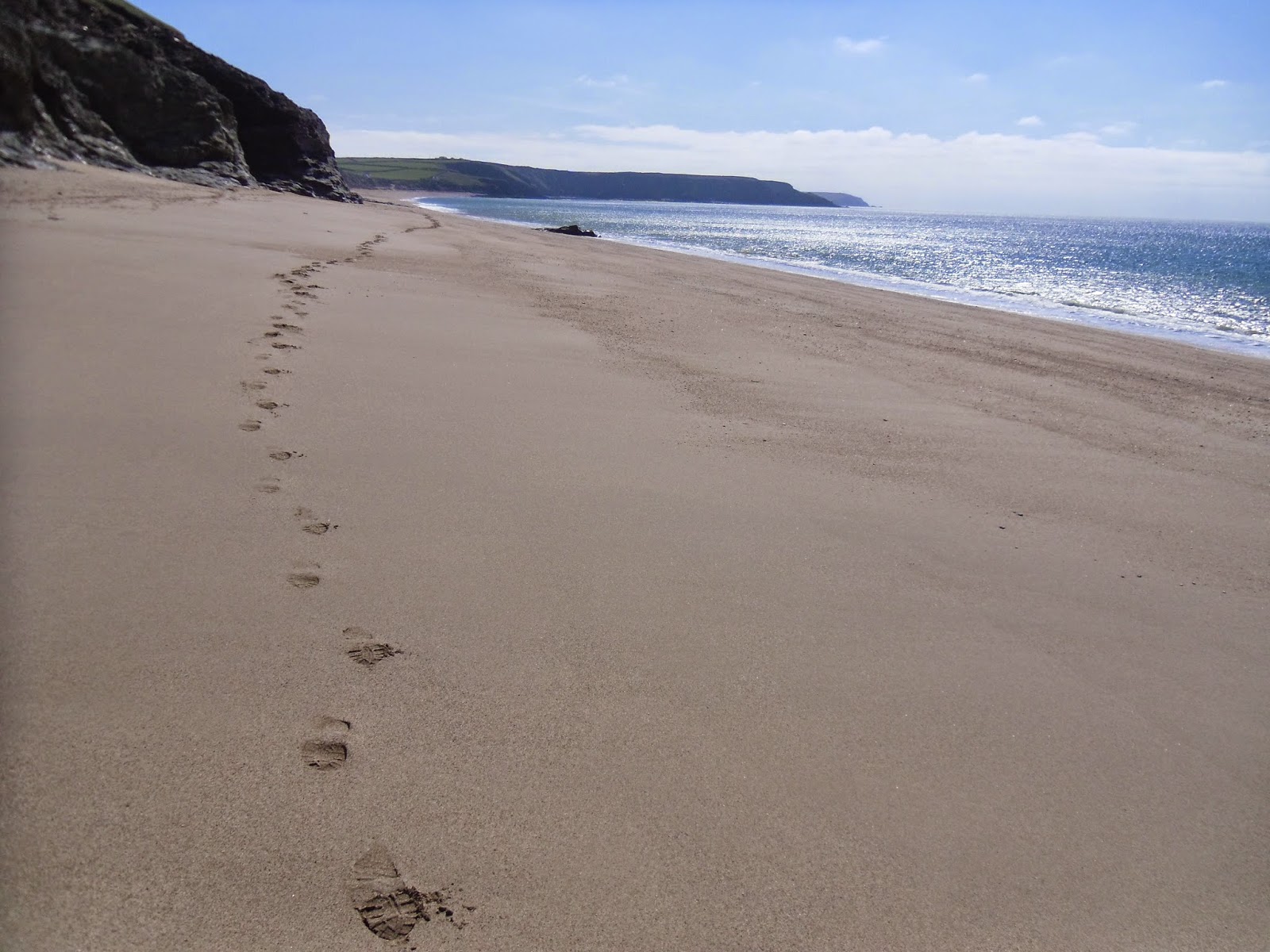 |
| My footprints on Porthleven Sands |
 |
| The ruins of Wheal Trewavas |
 |
| Beach art by 'One Man and His Rake' at Rinsey Cove, the children standing in the pattern give a sense of size |
 |
| Arriving at Praa Sands and the lizard I saw here |
 |
| The days walking ended with this magnificent view of St Michael's Mount |
No comments:
Post a Comment