The weather wasn't on my side again; I was walking into a strong head-wind all day and there was more rain. However I refuse to let that put me off and made good progress regardless.
The morning was spent on hilly terrain between West Bay and Lyme Regis. As is usually the case the toughest climbs rewarded me with the most spectacular views. West of Eype Mouth the views from Thorncombe Beacon (which I reached before the rain set in) were superb. From here Portland to my left already seemed quite small and distant. Amazing considering that's where I'd set off from yesterday morning. To my right I could see many cliffs, headlands and towns that awaited me between here and Exmouth.
After dropping down into Seatown I climbed up to the highest point of the entire South Coast of England; Golden Cap. Surprisingly the ascent wasn't as tough I expected, being a little less steep as many other uphills on my route. Unfortunately the first pulse of rain arrived shortly before I reached the top and I had to stop to put on my waterproofs. There was a great 'top of the world' feeling on the plateau at the top, the path was fairly quiet in the bad weather and I had it all to myself. I stopped there for a few minutes to enjoy the superb views and managed to get some pictures when the rain eased briefly, though visibility wasn't great.
As I pushed on towards Charmouth the weather worsened and the rain got heavier. Unfortunately the coast path both sides of Charmouth was impassable due to land slips an there was no choice but to bypass the town and make my way to Lyme Regis by walking along busy, hilly roads. Even an off-road section of the diversion was closed. This unpleasant slog in the heaviest rain of the day this was easily one of the low-lights of my journey so far. At lovely Lyme Regis it was a welcome relief to meet Lea on the front who was waiting for me in her dry warm car with a delicious hot pasty and a dry shirt for me to change into.
Leaving Lyme Regis I crossed the county border and entered Devon. Most of the way to Seaton the path passes through the dense woodland of the Underhills National Nature Reserve. Glimpses of the sea were few and far between, if it wasn't for the ever-present sound of crashing surf to my left it would have been easy to forget I was on a coast path at all. The going was somewhat tricky, very muddy and the endless tree routes a tripping and slipping hazard, however the jungle-like tree cover did a great job of protecting me from the wind and took the sting out of the rain. When I emerged onto the rugged cliffs a mile from Seaton the storm blew itself out and I saw the first rays sunshine of the day. It was a pleasant stroll down into Seaton through a golf course where I met Lea who was waiting for me as planned on the seafront.
Distance Walked Today 17.82 miles (28.68 km)
Cumulative Distance Walked 97.80 miles (157.39 km)
GPS Track; https://www.strava.com/activities/533750681

The view east from Throncombe Beacon, Portland on the horizon

The view west from Thorncombe Beacon

Descending into Seatown, Golden Cap ahead

Passing through a huge field of maize west of Seatown
The view from Golden Cap, the highest point on the
entire South Coast of England
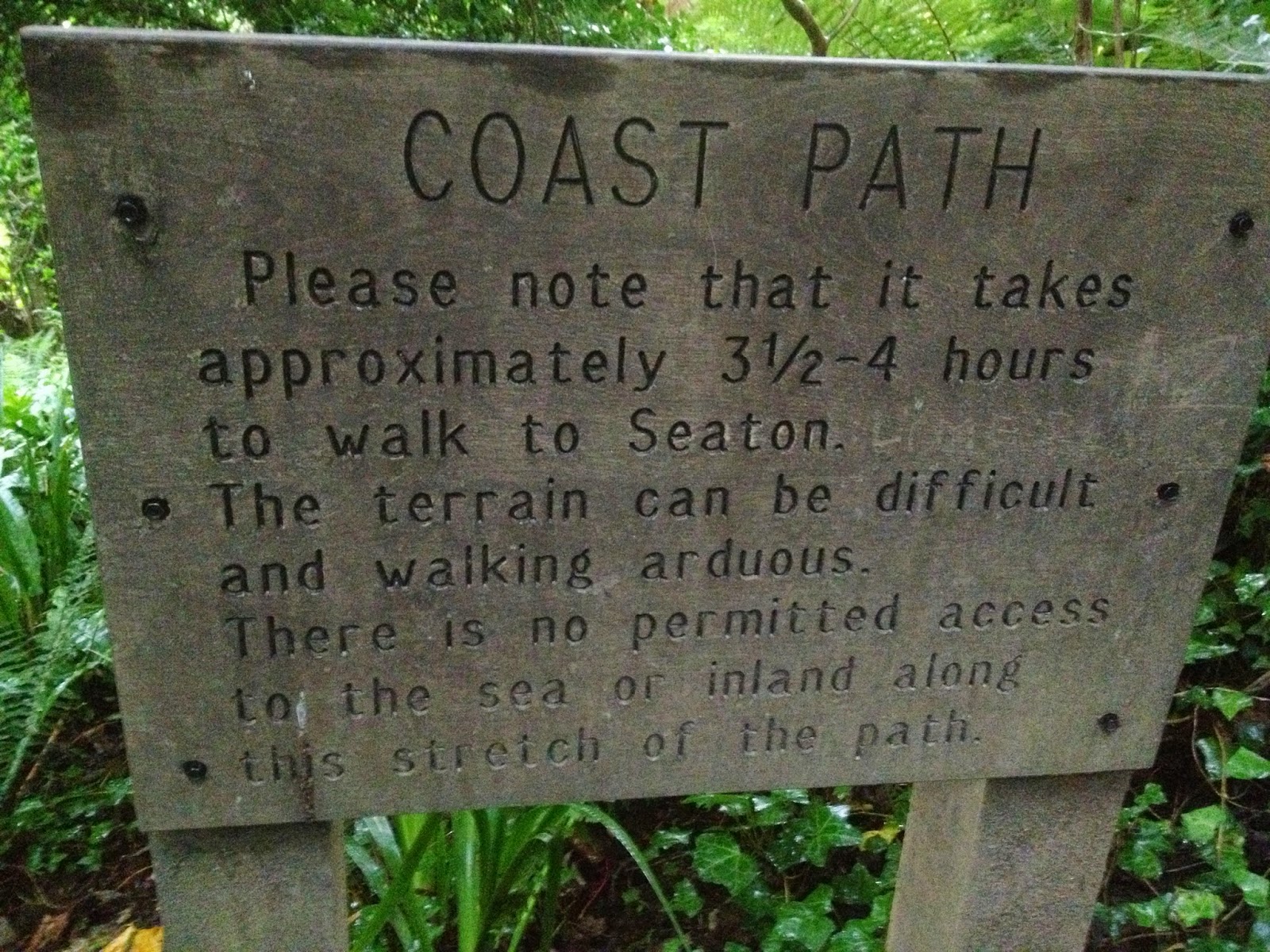
A warning sign where you enter the Underclifs National Nature Reserve,
for the record it took me 2 hours

Hooray, the sun comes out at last as I descent into Seaton through the Axecliff Golf Course
No comments:
Post a Comment